San Diego Area Hikes: 9 Day Hikes at Cuyamaca Rancho State Park
Cuyamaca Rancho State Park (a/k/a “Cuyamaca”) is a state park (official website here) with hiking and camping in eastern San Diego County, California. Eastern in San Diego means further from the coast means hotter than San Diego proper in summer and cooler in winter.
Cuyamaca is an easy jaunt from San Diego that makes it a good location for day-hikes or for a short camping trip without having to take time-off from work. (I work for myself so while I technically don’t have to “take off,” I do have to make-up for the time missed by getting the work done on another day so it’s still a concern.)
My Experiences at Cuyamaca Rancho State Park
I’ve been to Cuyamaca twice so far. Once for an overnight camping trip in fall a few years back and more recently, for a day hike with my sister in summer.
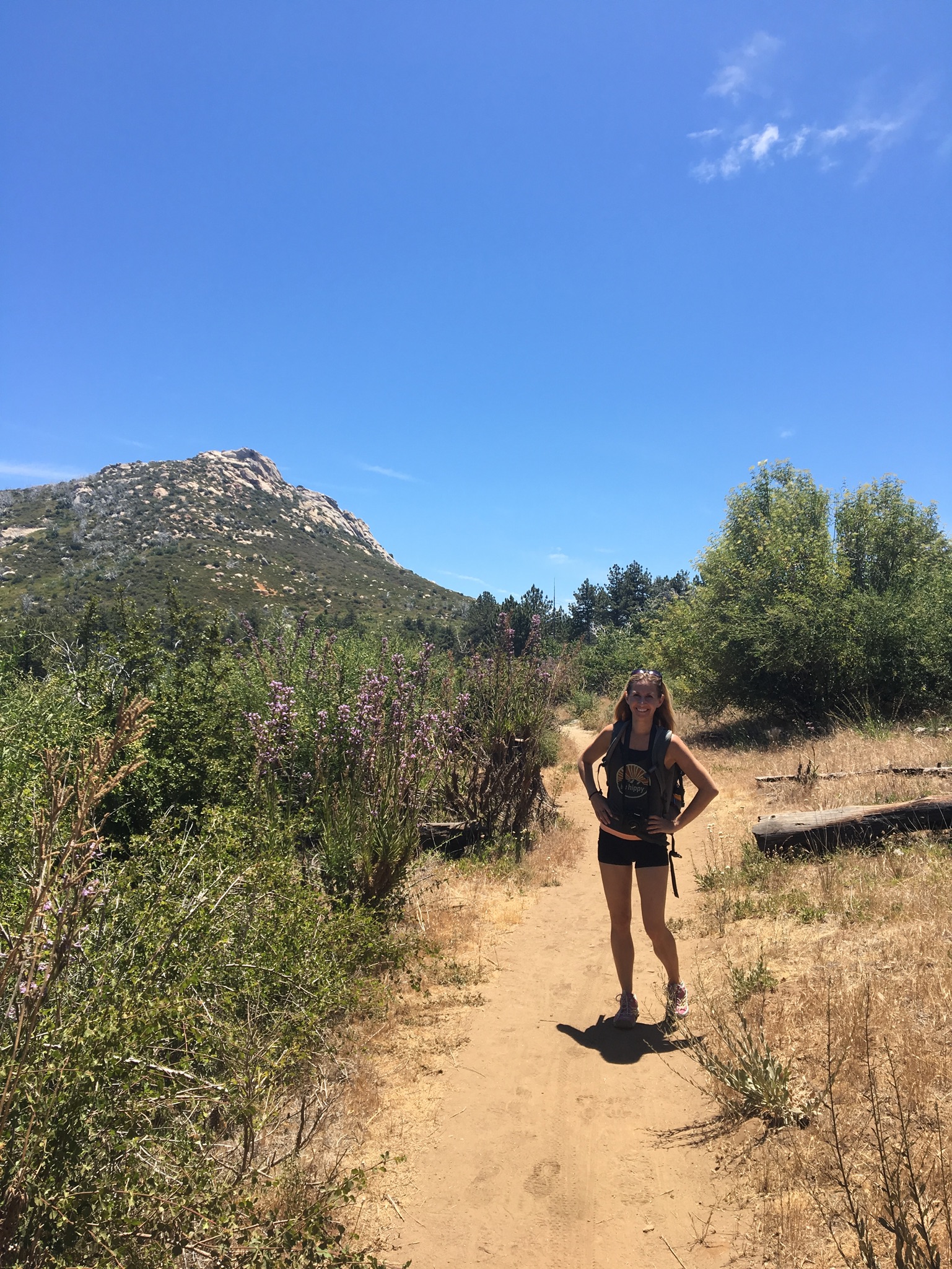
Mid-fall was perfect weather: warm enough for a tank top during the day, brisk but not cold at night. We did the Stonewall Peak Trail that day. Quite nice views and were back in camp with plenty of daylight left despite getting a late start.
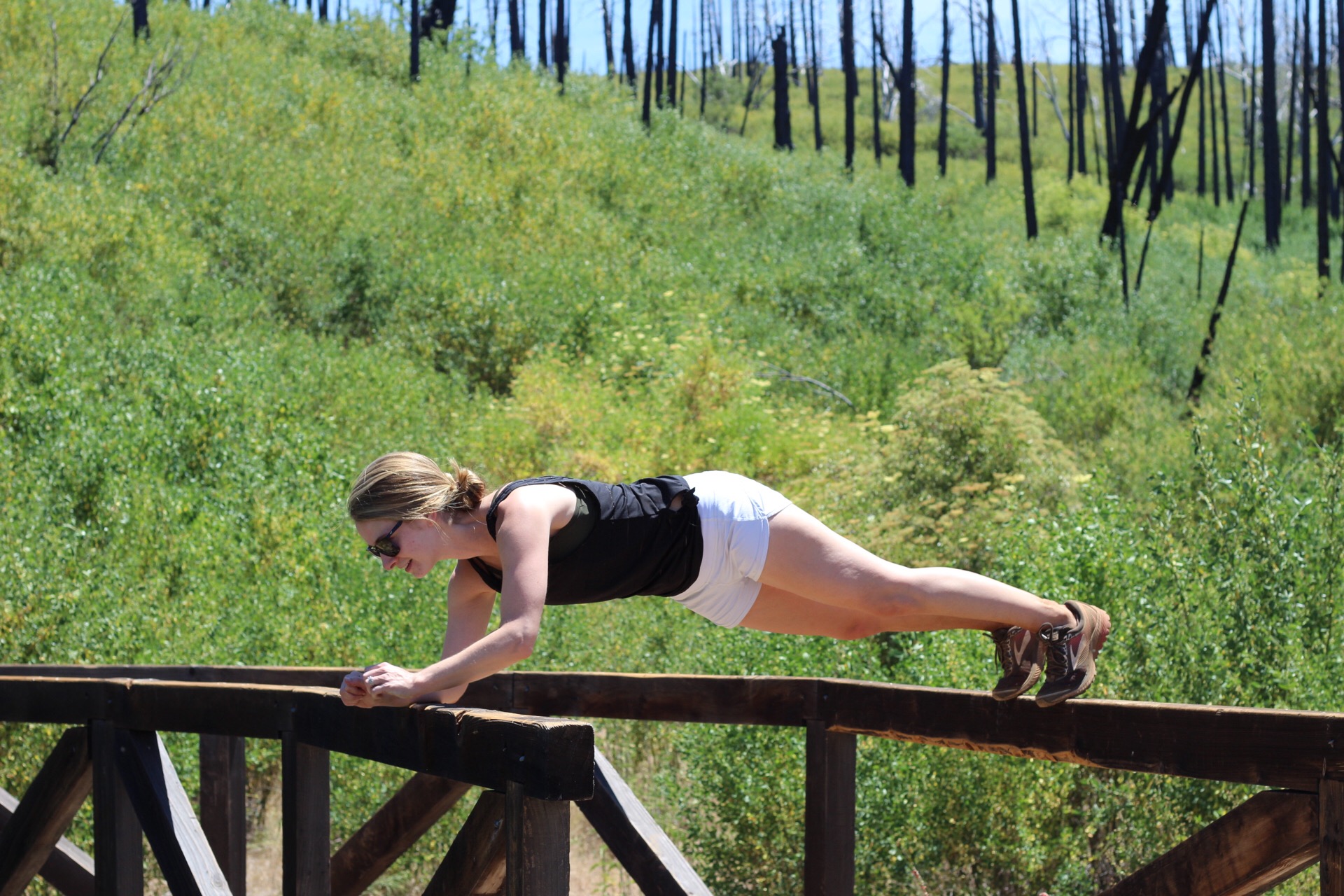
Summer was honestly, hot as hell. To the point that the ranger seemed concerned about my sister and I and asked us about our water supplies. In his defense, we did pull up and ask “are there some hikes around here we can do?” which probably made us seem a little like blonde fish out of water (even though we were there specifically to hike). We did part of the Azalea Glen Loop but made it and out and back because we promised ourselves we would turn around after a predetermined amount of time passed (because like I said…hot as hell!)
Parking at Cuyamaca Rancho State Park
There’s some free parking along the road within the park, but if you’re not familiar with the area, I’d suggest paying the $10 to park at one of the official parking lots. They are easier to find and you can get a map and your questions answered from one of the rangers.
Best Hikes at Cuyamaca Rancho State Park
Here are the hikes the state park service’s suggested hikes, difficulty ratings, and descriptions. Of course, “difficulty” of hikes subjective so use your judgment. The rating listed is from the state park. Distance is also based on what the park says so keep in mind that starting at a slightly different spot or meandering down a side trail can easily add on distance.
Indian Trail
Rating: Easy, suitable for kids
Trailhead: East side of bridge on road to Camp Cuyamaca
Distance: 1 mile (round-trip)
Description: Flat nature trail that follows stream. Brochure for self-guided nature tour available at trailhead.
Green Valley Falls Trail
Rating: Easy, suitable for kids
Trailhead: Green Valley Campground (picnic area parking lot)
Distance: 1.5 miles (round-trip)
Description: Short jaunt to seasonal waterfalls.
*Stonewall Peak Trail*
Rating: Easy, Suitable for Children
Trailhead: Across from Paso Picacho Campground (which has parking)
Distance: 4 miles (round-trip), 900ft elevation gain
Description: The most popular hike in the park for its great views of Lake Cuyamaca and beyond. At the peak is a ridge with handrails. True to form, I gripped those handrails tightly. It’s not that sketchy. I am that much of a baby.
Azalea Glen Loop Trail
Rating: Moderate to Difficult
Trailhead: Across from Paso Picacho Campground (which has parking)
Distance: 3 mile loop, 500ft elevation gain
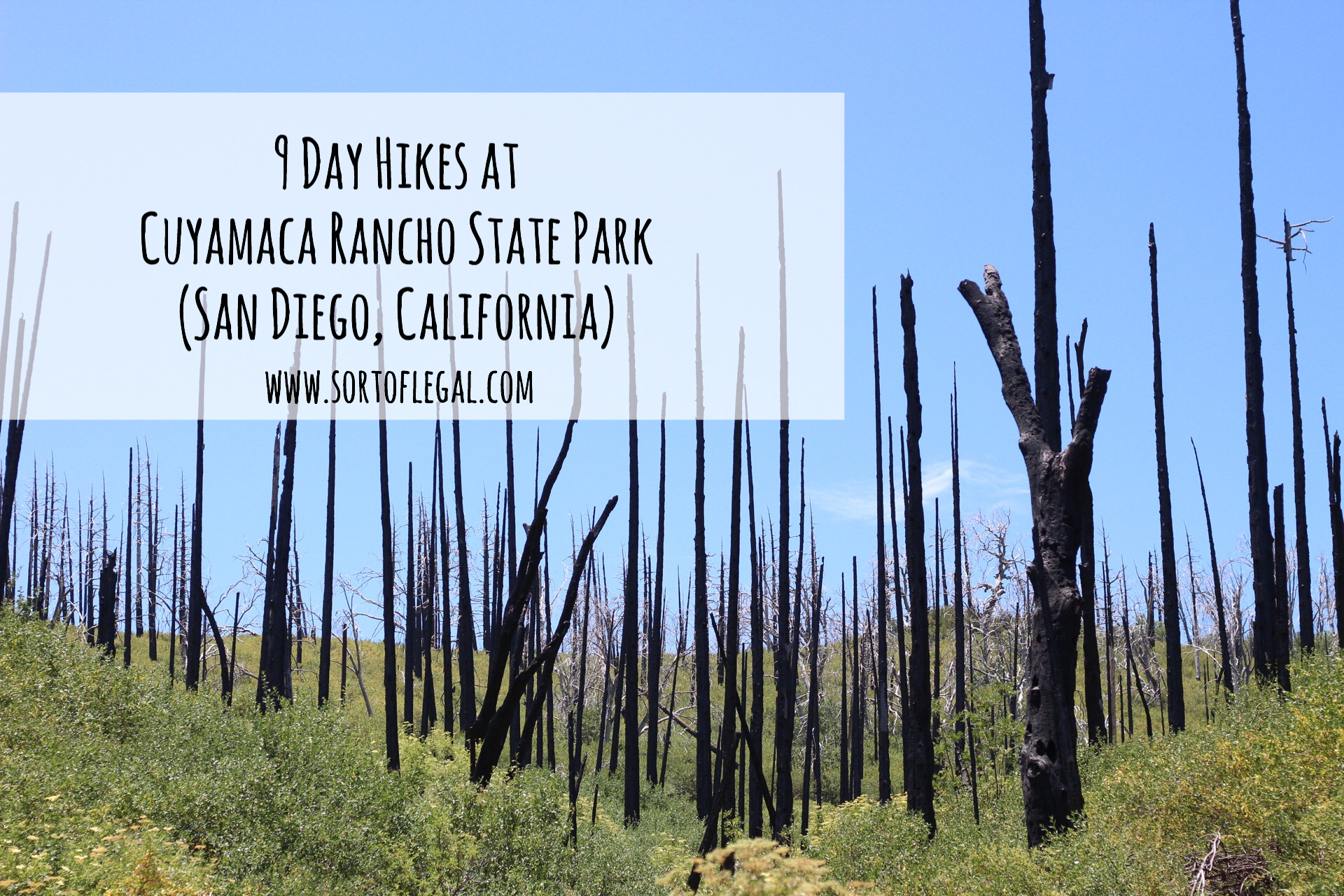
Description: Diverse mix of forested areas, meadows, and more desert like climate. Blacked charred remains of trees that were burned in a fire (presumably, the 2003 Cedar Fire) are an interesting feature towards the beginning of the bike. Decent outlook about 1.5 – 2miles into the hike. No one else on the trail in early July (again, hot, bring water a plenty). We ended up doing about 4.5 miles by going out-and-back.
Juaquapin Trail
Rating: Moderate to Difficult
Trailhead: Sweetwater Crossing parking area
Distance: 3 mile loop, 400ft elevation gain
Description: Scenic loop with step return. Seasonal wildflowers and possibility of encountering birds and deer.
Oakzanita Peak
Rating: Moderate to Difficult
Trailhead: Sweetwater Crossing parking area
Distance: 3 mile loop, 400ft elevation gain
Monument Trail
Rating: Moderate to Difficult
Trailhead: Green Valley Campground (campfire circle parking lot)
Distance: 5 miles (roundtrip), 1200ft elevation gain
Description: Take the Arroyo Seco Fire Road to Arroyo Seco primitive camp then the connector (not named) to West Mesa Trail and Monument trail. Solid climb to views of the coastline and East Mesa with possibility of adding on a short side-hike to Airplane Monument where an airplane crashed in 1922.
Cuyamaca Peak Trail (Look-Out road)
Rating: Moderate to Difficult
Trailhead: Paso Picacho Campground (picnic area parking lot)
Distance: 7 miles (round-trip), 1700ft elevation gain
Description: True climb to the highest point in the state park with views along the way and at the peak. One of the more aggressive hikes in the park with steady climbing and respectable total distance. Leashed dogs allowed.
Stonewall Mine Road
Rating: Easy
Trailhead: Stonewall Mine parking area
Distance: 2 miles (roundtrip)
Description: Dogs allowed on this flat, paved road “hike” with good chance of seeing wildlife such as deer and wild turkeys.
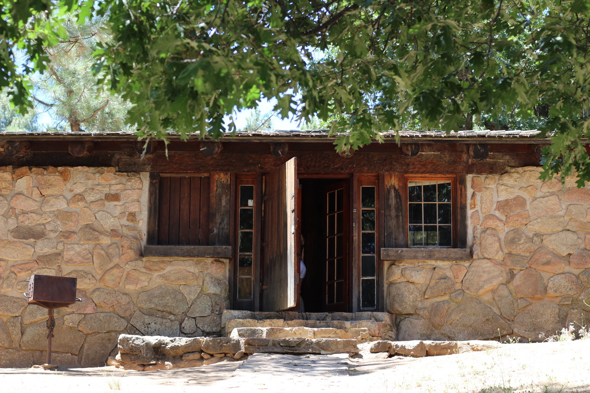
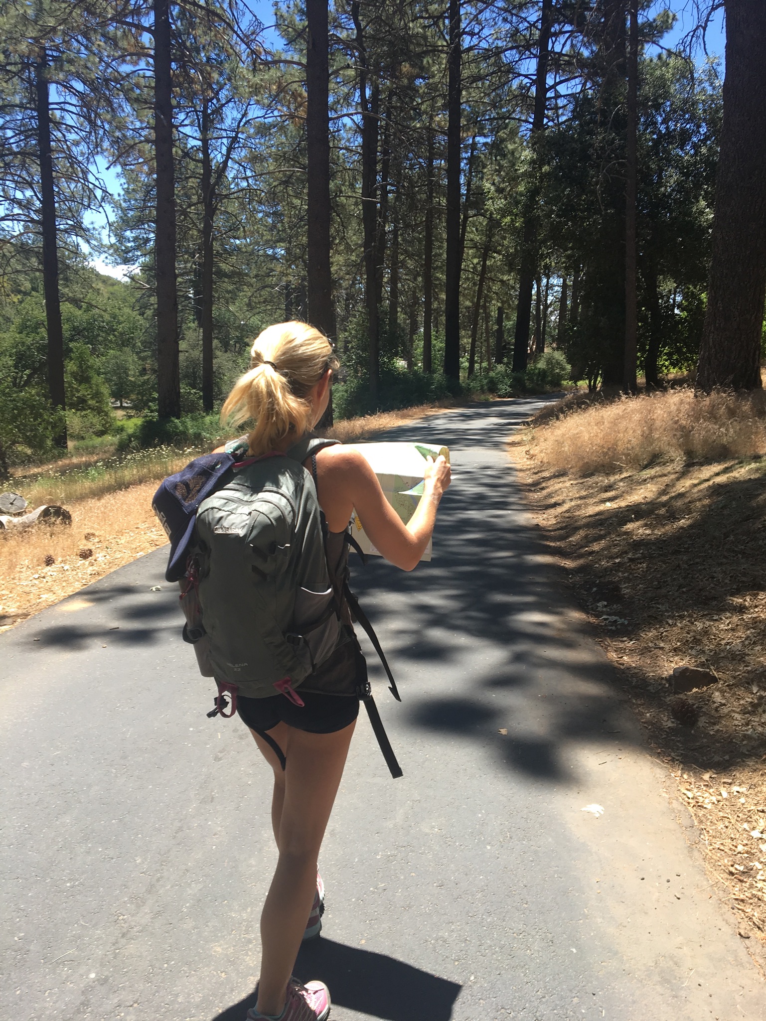
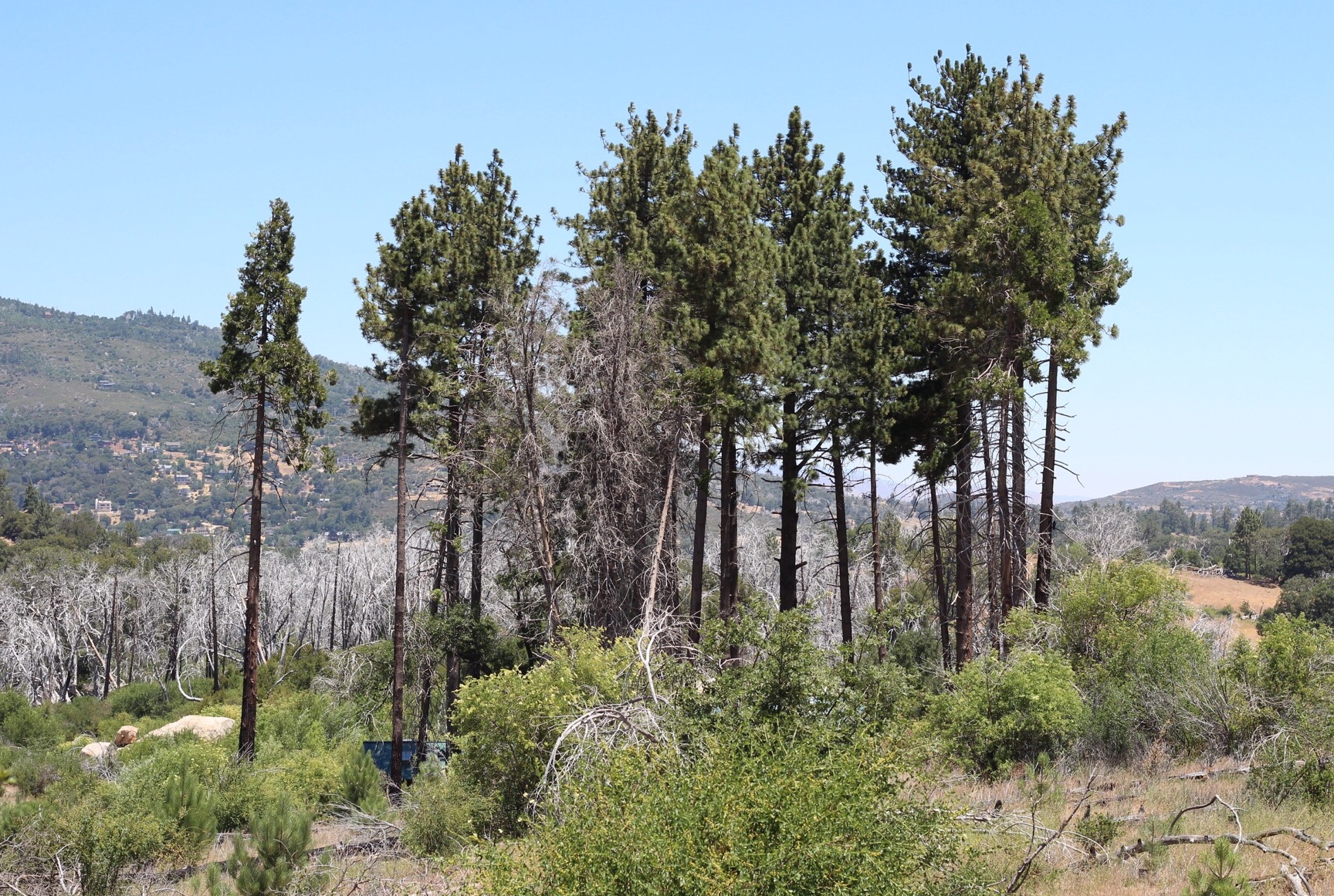
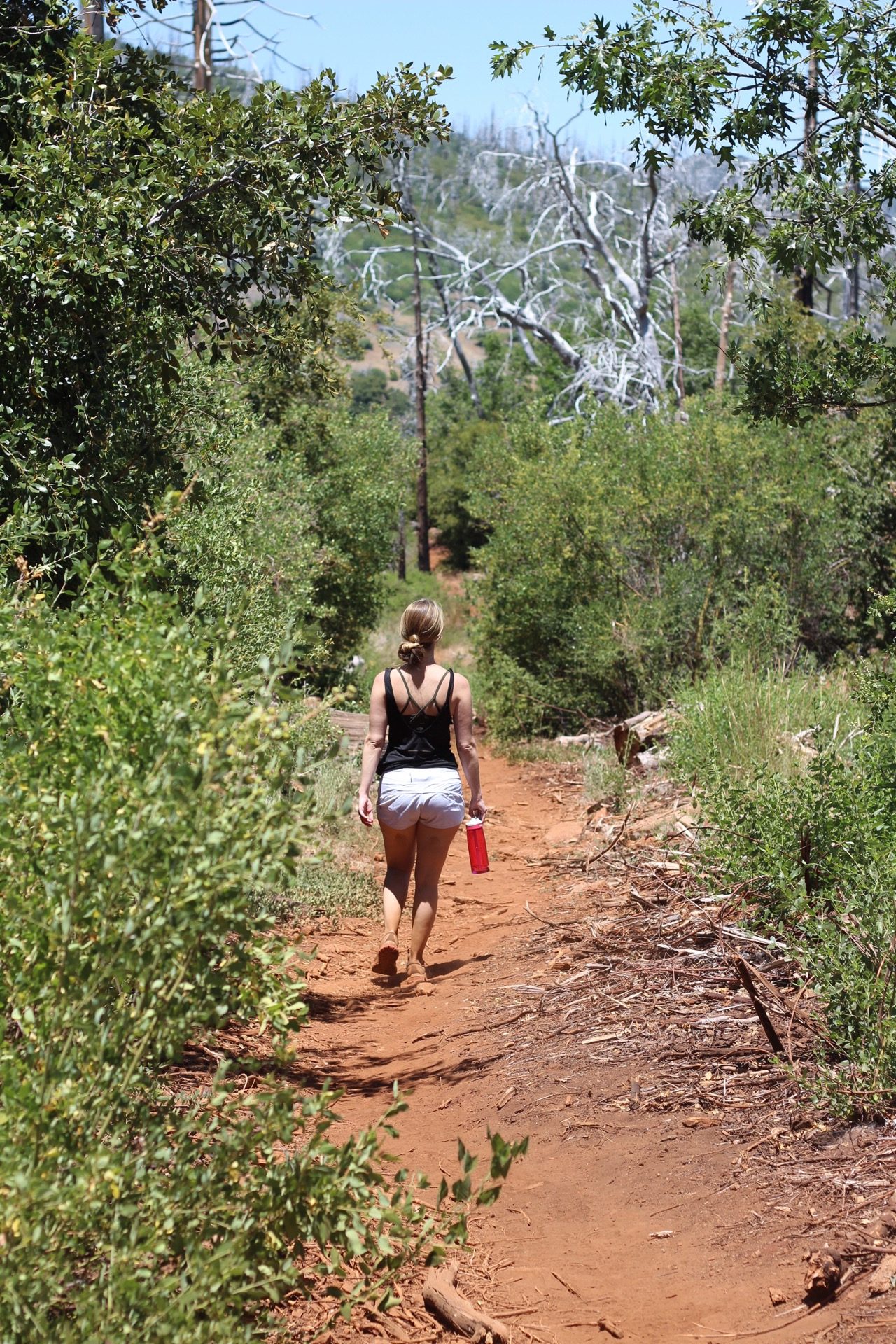
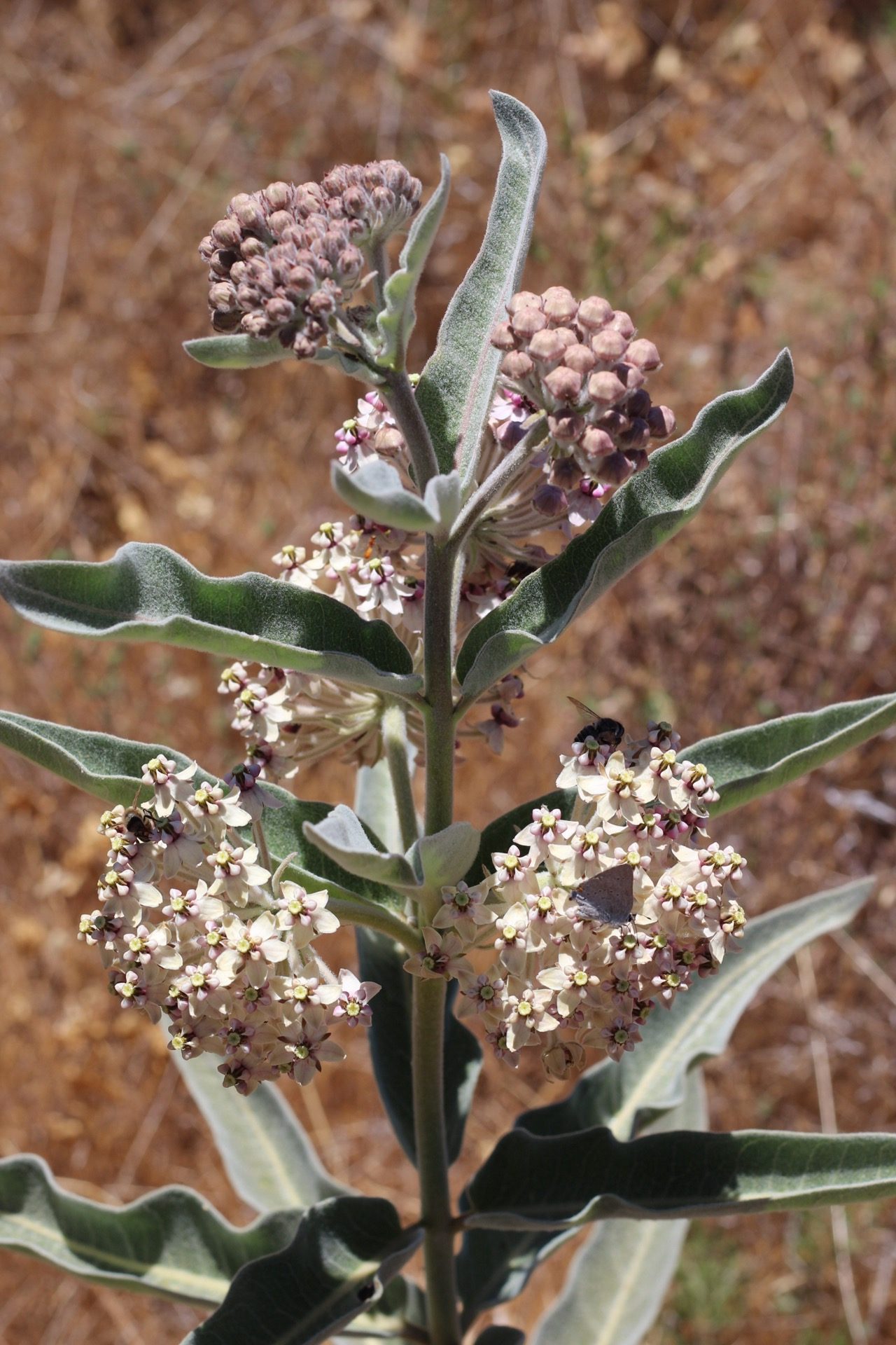
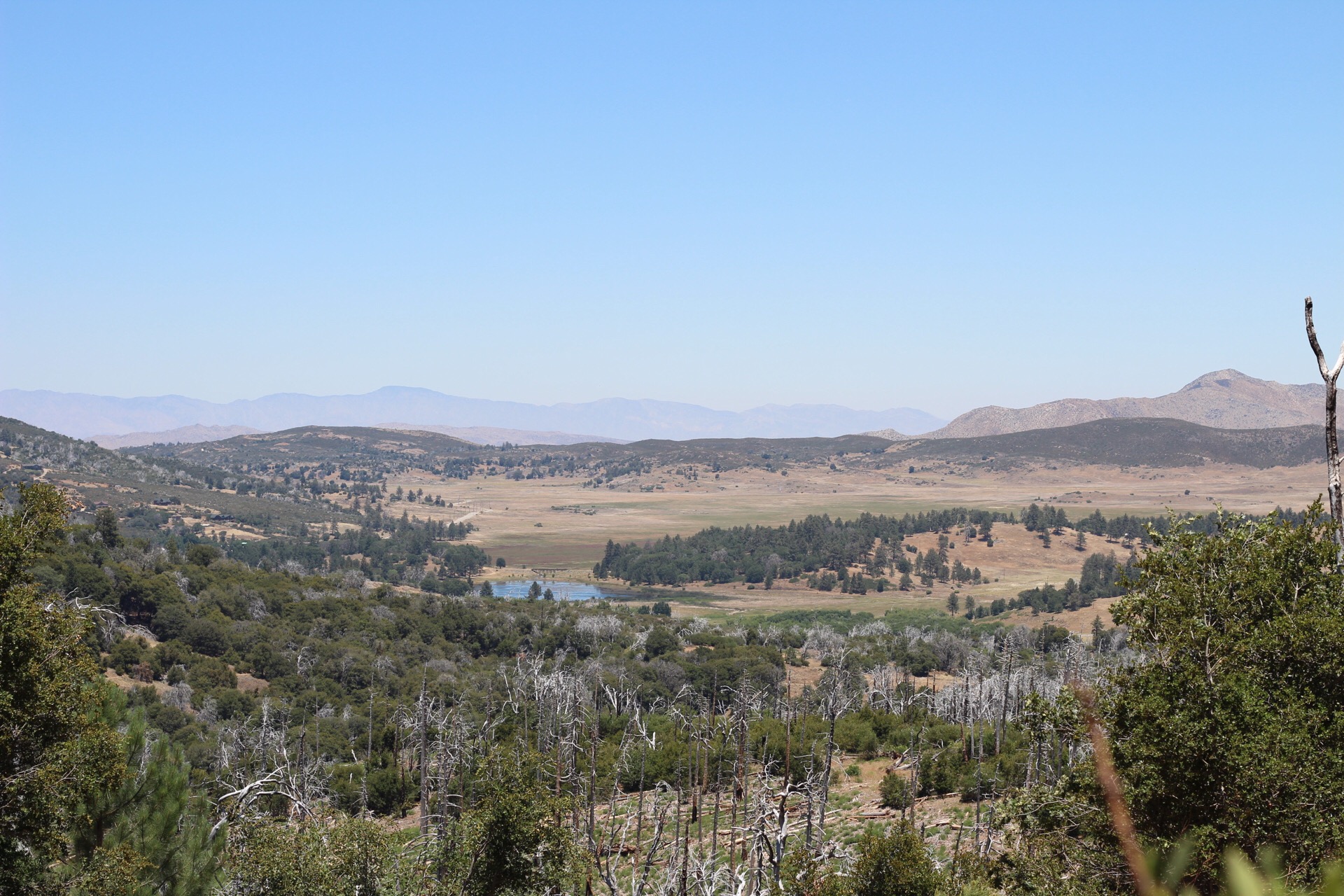
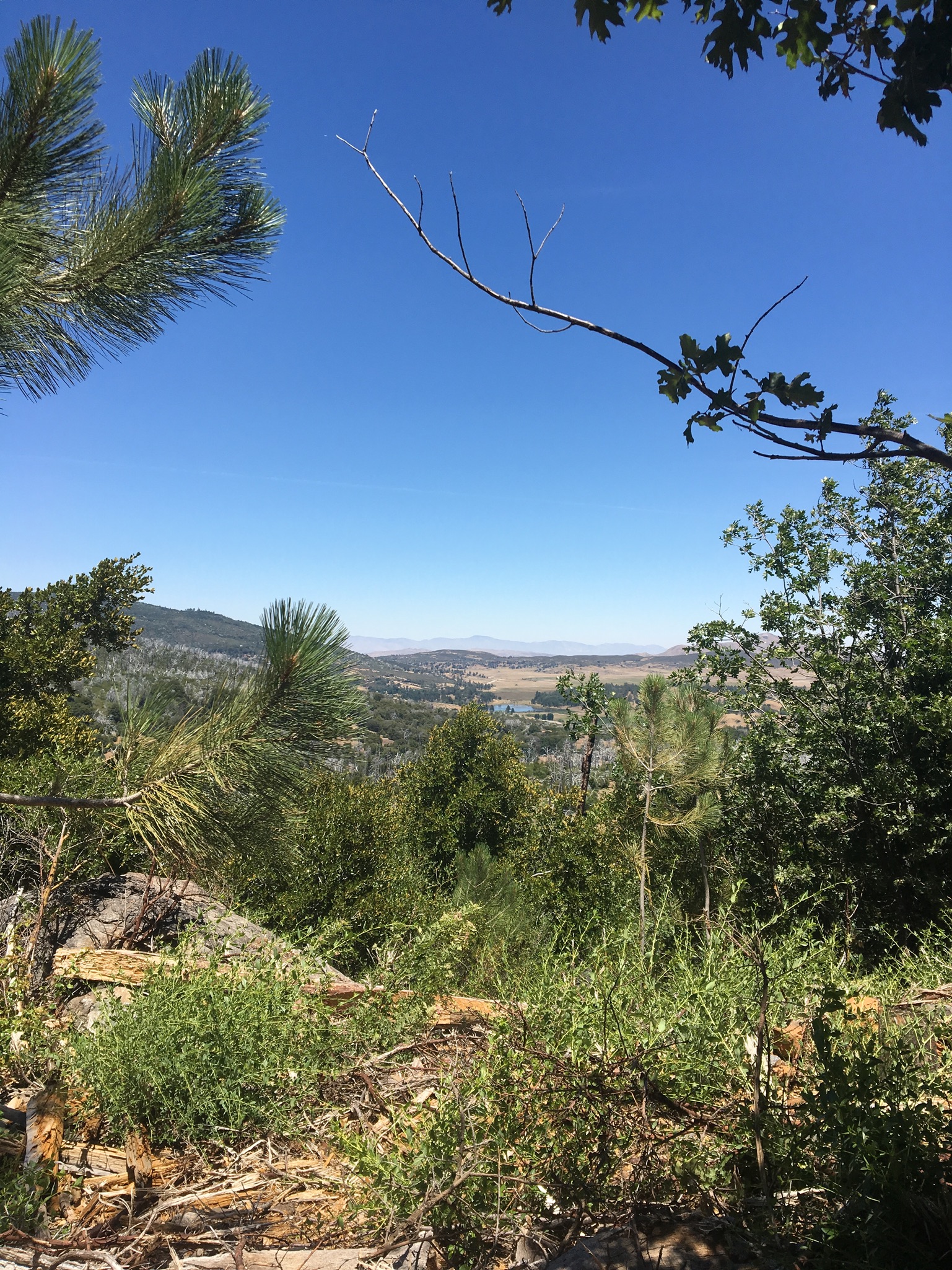
Photos of Hiking at Cuyamaca Rancho State Park